Soaring in Innsbruck
Author: Thorsten Renk
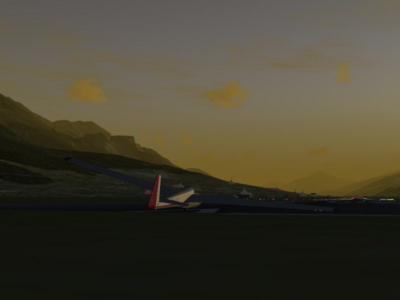
Innsbruck, 6 am on a warm summer morning just after sunrise. The first members of the aeroclub vacationing with their gliders get out of the tents and observe the weather. There is thin Cirrus coverage overhead, and the first weak Cumulus clouds are forming already. Winds are a steady 10 degrees from East – it looks like a promising day for soaring. I get the ASK-13 out and ready.
(In reality, we would not have the plane out like this in the morning – it’s dangerous to let light planes with excessively long wings lie around in 10 kt winds – either it would have a hangar space, or it would be disassembled in a trailer – but there are some things even Flightgear doesn’t simulate.)
The Local Weather subsystem of Flightgear has a fair amount of knowledge of convection and thermals. For instance, it includes the time into the decision what thermals are formed, and the strength of early morning thermal activity is thus a good guide for the strength later in the day.
Around noon, the thermal activity has significantly increased and thick Cumulus development is seen over the mountain ridges. I’m getting ready for a winch launch in the ASK-13. The ASK-13 is a rather old glider with a glide ratio of 28 optimum (i.e. it covers 28 m distance while sinking 1 m), thus it is not suitable for covering large distances, but it has very good slow-flying properties, and thus it can circle in very narrow thermals.
There’s no need to make a flightplan – soaring can’t be planned. I’ll simply get up there, have a look around and see what possibilities there are, and if I don’t catch a thermal quickly, I’ll land back on the field and do a second winch launch. Soaring in most locations is about finding the thermal updrafts beneath Cumulus clouds and circling them to get altitude. In the mountains, there is additionally the upward deflection of wind by mountain ridges, called ridge lift, which also leads to vicious sink in the lee of the mountains. Flying a glider in the mountains is difficult – often you may have to circle in a confined valley, you may unexpectedly get into a lee and lose a lot of altitude, or you may be forced to land in an unsuitable location.
Flightgear simulates both thermal and ridge lift and (in a very experimental way) in principle also wave lift. Ridge lift is dependent on the wind, terrain roughtness and the local terrain slope, whereas thermal lift is dependent on factors like terrain type and terrain elevation – just as in real life, strong lift does not form over open water but rather over surfaces which heat up in the sun. So, looking for rock surfaces or elevated terrain where a thermal is more likely to form are meaningful in Flightgear as in real life.
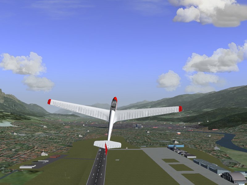
A winch launch gets us up into the air quickly – with a good climber like the ASK-13, 500 m altitude are possible (European gliders measure the altitude in meters, not in feet). Winch launch takes a bit getting used to, as it leads to quite rough acceleration and climb more resembling the performance of a rocket than of a plane, but is fun after a while.
The altitude gained in Flightgear winch launches is a bit generous when compared with reality. What launches are supported depends on the plane – several gliders allow aerotow in addition to winch launch. Aerotow allows to get to significantly higher altitude and basically any position, but is in reality much more expensive than winch launch.
Just after disconnecting from the winch, all of Innsbruck lies before us. I’m now turning south, as there are some promising clouds on the slopes there. I have to find a thermal quickly – there are none on the valley floor, so the actual altitude reserve I have are not 300 m above valley floor with 200 m for a safe landing, but far less since I have to look above elevated terrain.
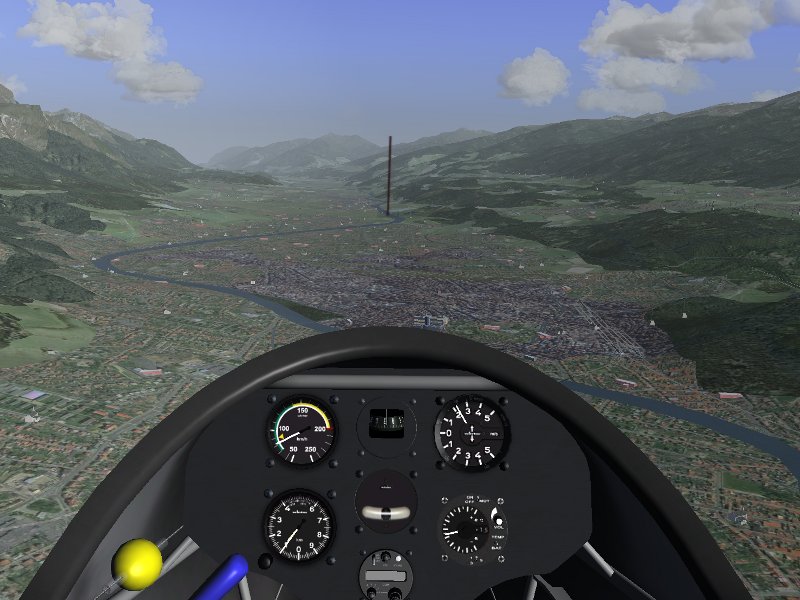
And we enter the first thermal! It’s even a fairly decent one, with a net lift of more than 1.5 m/s. While strong thermals can give lift of 3-4 m/s, starting out low I have to use what I can get – this is not the time to be picky. Properly centering a thermal when entering from below requires some skill – there is no visual reference provided by the cap cloud, so this has to be flown by instruments.
A thermal in Flightgear is not just a uniform area of lift – it has a fairly complicated structure. There is a rim of turbulent air, and an outer layer of sink, the lift is strongest in the center of thermal, the whole column of rising air is slanted and a bit wasp-waisted, so the radius entering a thermal low is smaller than right beneath the cap cloud. Optionally, thermals also have a time evolution, i.e. they form and die off after a while.
After a good ten minutes work, we reach the cloudbase with a good 1500 m more on the altimeter. Now it’s time to go fly some mountains!
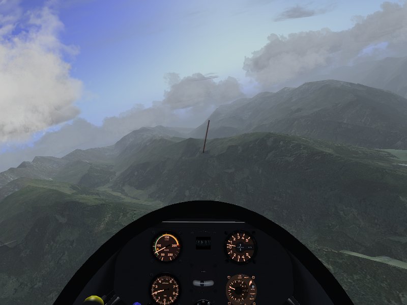
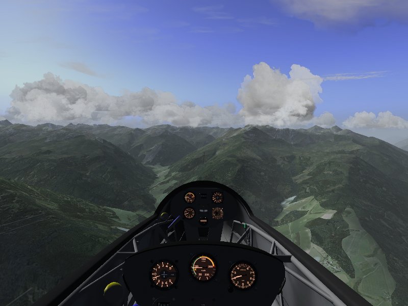
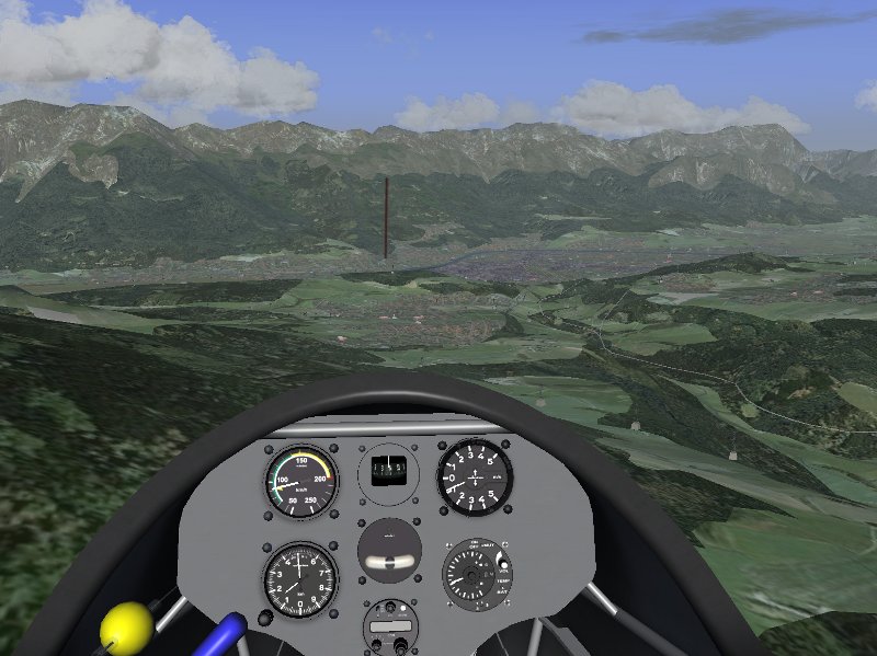
The ASK-13 is a twin-seater – a view from the back seat position (taken either by a passenger or an instructor) as we head south into Stubaital – Widdersberg just ahead slightly yo the right.
The ASK-13 can actually take a passenger (sitting on a different computer) via dual control in the backseat position.
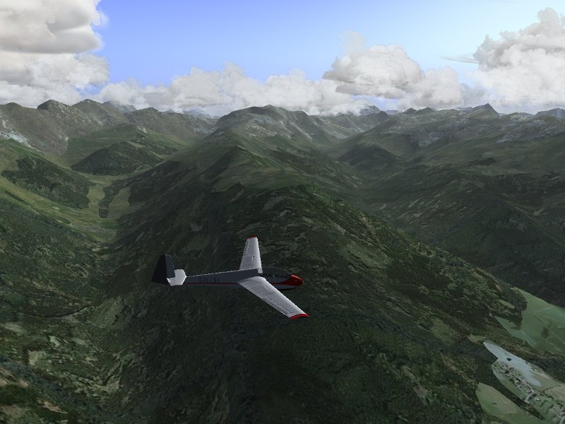
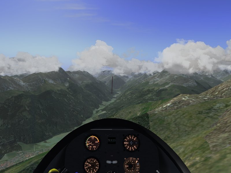
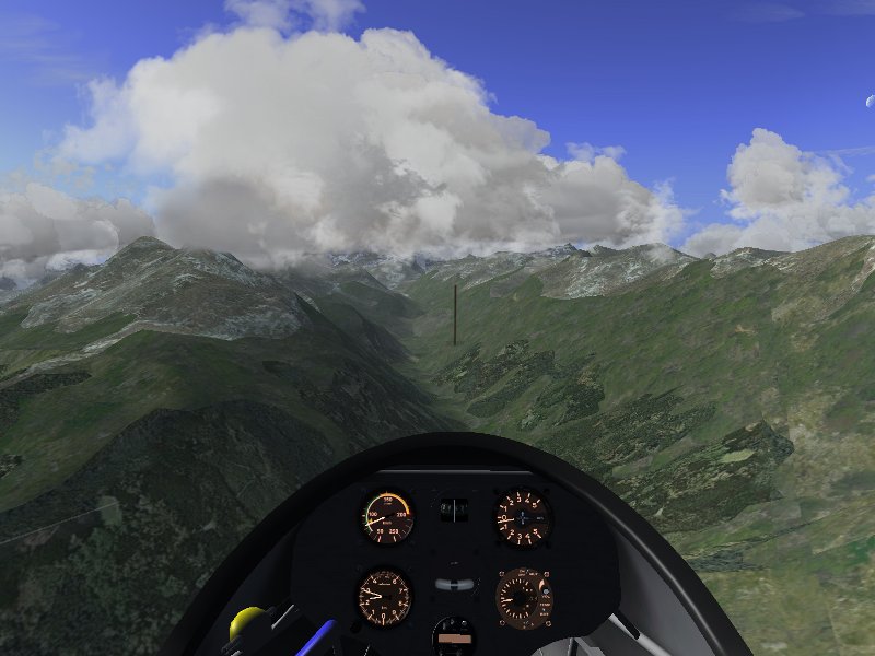
Some gorgeous views of the Alps!
Here, I’m using the Innsbruck Custom Scenery, which received a lot of attention also by model developers in recent years, and is hence rather spectacular (see https://www.flightgear.org/forums/viewtopic.php?f=5&t=5350 in the Forum).
Since I’m now hugging a western slope, there is some amount of ridge lift available. The wind is not strong enough for me to really gain altitude, but by going close to the slope I can almost compensate my sink and hence make distance without losing altitude. The downside is that the wind is definitely strong enough to create substantial sink on leeward slopes, so I have to be very careful where I fly.
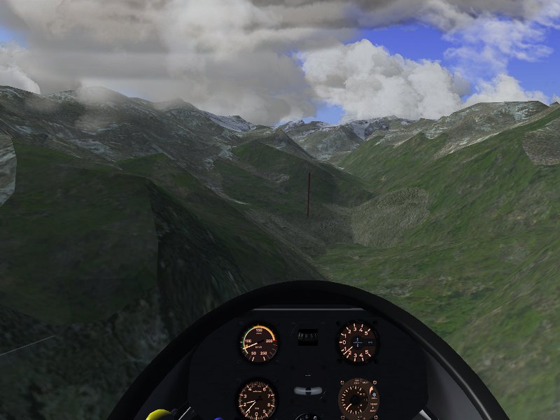
Heading into a small valley. Soaring is all about realizing possibilities – here the cloud looks very promising, and if I get a good strong thermal, I might even be able to cross the slopes to the right into the next valley. But it will not be easy – the terrain will restrict my circles, so I may not be able to center a thermal properly. I decide to give it a try.
This isn’t going well at all… First, there is some leeward sink coming in, reducing my altitude. Then, the thermal is there, but it is too weak and too small to really lift me up. In the center, I get half a meter of lift, but I can’t keep the plane stationary there, and circling the thermal my net lift is down to almost nothing. Moreover, I am running out of time – the cloud drifts towards the western slope, and I can’t follow it with the altitude I have left – I decide to abandon before conditions become unsafe.
As in real life, a promising cloud doesn’t guarantee a strong thermal. There is some randomness in the correlation between cap cloud size and thermal lift, and even a strong thermal may be in practice not flyable because its radius is too small. The thermal system is not designed to make soaring easy, but to make it a realistic experience, and disappointments are part of the experience. Soaring is not just heading to the next cloud to catch the next lift – one also has to be prepared for the case that no lift can be had there.
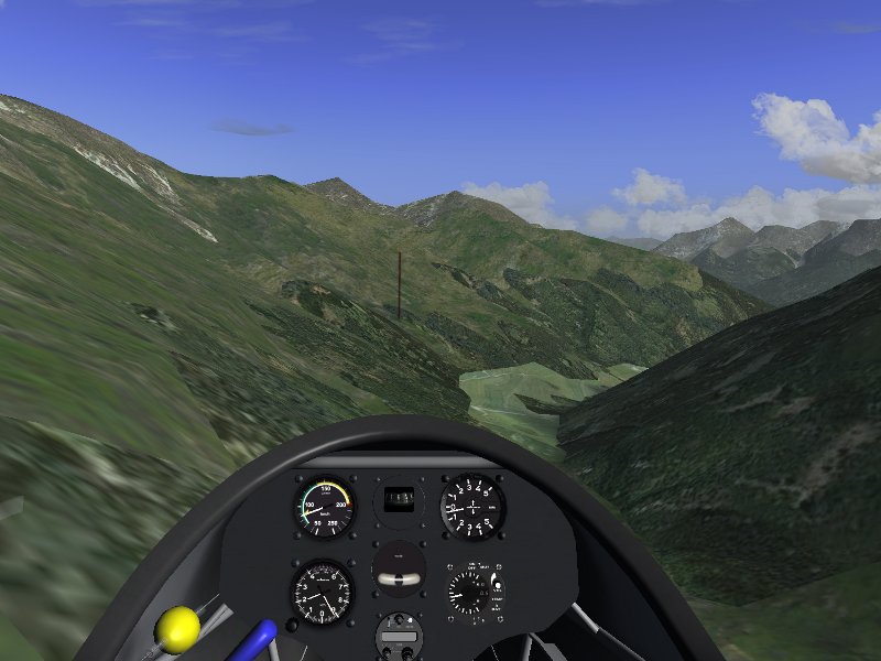
Turning around, the situation isn’y actually dangerous yet (in the event, I just need a 50 m strip of relatively level grass to land, which is easy to be had), but it’s not good either. I don’t really want to land in the countryside, because my team might otherwise face a long drive with the trailer to get the plane back. First, I have to head back into Stubaital.
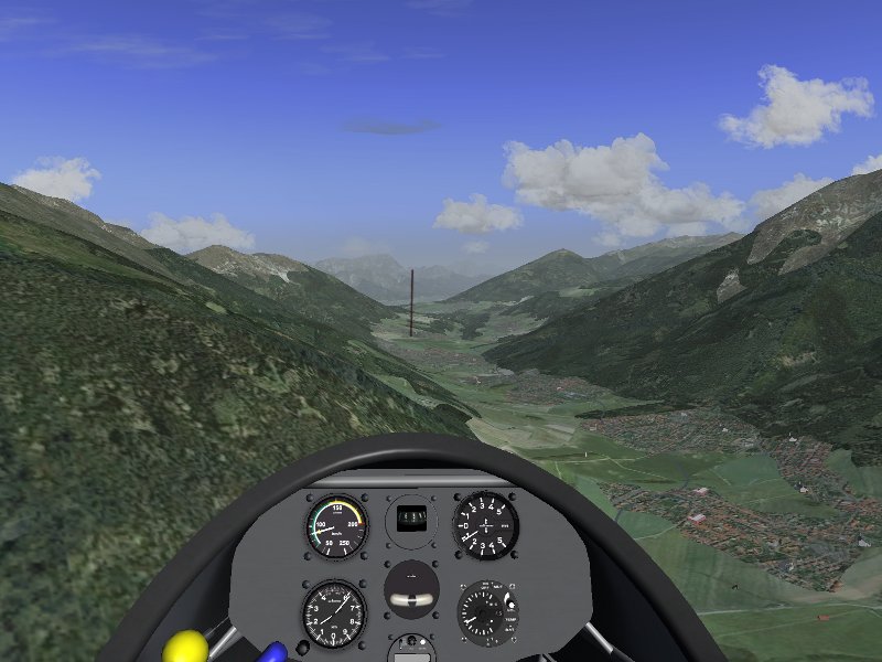
And here we are – plenty of fields to use as landing sites just in case. And a very long way to go back to Innsbruck – all the way to the end of the valley. It looks impossible, but… there is still the ridge lift. Unfortunately, no thermals to help us out of this – the only visible clouds are on leeward slopes, and that’s a very bad idea to try. So I decide to fly very close to the slope to catch most of the ridge lift and try to get back to Innsbruck.
And… it works just fine – with just 50 m altitude loss I make it back – since the valley floor now drops, I have plenty of altitude to spare for my approach to Innsbruck.
Safely back at Innsbruck, and time for the next person to get into the plane and enjoy flying the Alps. I had hoped to fly a longer trip (I did manage to climb above the Habicht once with spectacular views into Italy), but then, soaring can’t be planned, and especially in the mountains, the conditions are often difficult.



So on 11/08/2015 my first FAI triangle I have succeeded. here in
Facts:
EDFQ –> ED03 (POHLHEIM VIEHHEIDE) 30,5 Nm
ED03 –> EDEN (Bad Hersfeld) 41,3 Nm
EDEN –> EDFQ (Allendorf Eder) 41,2 Nm
———
102,3 Nm
========= 184Km
Maximum Hight: 7400 m altitude record( 20000 ft / FL200) D-ABBA (alias D-ABAB)
After winch launch risen constantly in an updraft to 6000 m
(see photo section would I send to your eMail adress).
Thereafter the height slide over the turning points ED03-EDEN.
About GPS setting I have the legs produced and flown with
nav-slave and autopilot the triangle sides. Generates I have the
thermals with advanced weather. Why between
could rise the clouds on my altitude record you can determine me
explain. Upon my soul, I am purely thermally at the height of
7400m (between ED03 and EDEN)risen.
D-3m has witnessed the flight time on the pilot list, converted
in metric and in the exterior views.
Why the advanced-setting the high-flying has approved is not me
explainable. Would be glad if you my little report with the
Photogallery annexed for the column on the NEWS page Flightgear
will publish. Could I imagine the other times also are soaring.
The ASW20 / DG101G has addon in FlightGear unfortunately no
reliable variometers onboard.
D-ABBA
You probably hit a rare bug of some sort. I’ve managed to trigger it once myself but haven’t been able to reproduce it since.
interesting scenery indeed. Too bad the ASK-13 does not seem to work with my system.
Looks awesome! 😎
I’m quite new to FlightGear… So, please where can I get that scenery from? 🙂
I tried to download the corresponding part via the Worldmap here on flightgear.org but it doesn’t look that good at all.
Keep up the good work!
Innsbruck custom scenery is from the forum
http://www.flightgear.org/forums/viewtopic.php?f=5&t=5350
(it actually says so in the article above 🙂 )
Great review and an amazing flight! You inspired my day!
Question: What airport did you start from?
Innsbruck (LOWI)
Thanks a LOT first for the nice reading and also to make me realized we could us a winch to take off… This was one of the Many marvels I discover every time in this superb soft.
I made a quick fly in the alps after a winch takeoff from Megeve altiport. :
Winch takeoff
3D clouds
Stereo view (with my red cyan glasses)
PRICELESS
That is great, I like those suburban textures, much better than the ones I have.
Nice description and really nice scenery.
Thank you once again for your job!